 15 seats left
Batch: 01Starts Tue 10 Nov
ArcGIS Desktop 10.8 (ArcMap) - (Basic to Intermediate) - GIS
Beginner26 lessons20 Hours
––days
––hours
––min
––sec
Course fee৳1,500
Enroll now Industry-focused training in ArcGIS Pro, Google Earth Engine and spatial modelling, Learn in Bangla by working GIS and remote sensing professionals.
Pick a course that matches your level and goals — beginner to advanced.
Watch recorded lessons at your own pace from working GIS professionals.
Practise on real Bangladesh datasets and build a portfolio employers notice.
Earn a verifiable certificate you can share on LinkedIn and your CV.
World-class geospatial education combining cutting-edge tools with real industry mentorship.
Work with real-world geospatial datasets. Build a portfolio that gets you hired.
Direct guidance from GIS and remote sensing professionals with 10+ years of experience.
Resume review, mock interviews, and placement support until you land your role.
Tools you will master
Learn with the professional software and data sources used by NASA, USGS and leading geospatial teams worldwide.
ArcGIS Pro
Professional desktop GIS
QGIS
Open-source mapping & analysis
Google Earth Engine
Cloud-scale remote sensing
Python
Spatial data science & scripts
R
Spatial statistics
Landsat & Sentinel
Free satellite imagery
LiDAR
Elevation & 3D point clouds
Drone mapping
Photogrammetry workflows
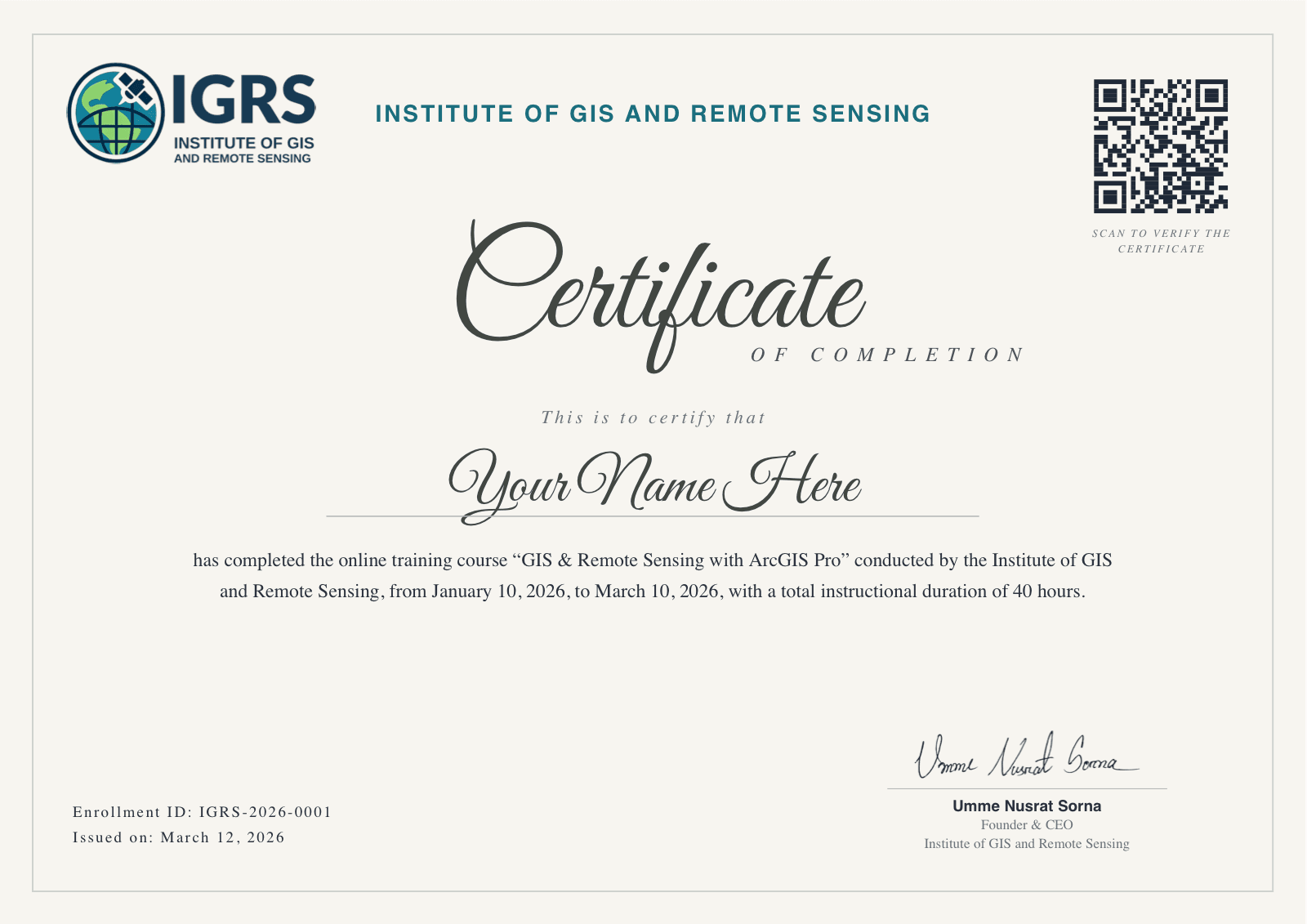
Complete every lesson and your certificate is issued automatically — this is exactly what you'll receive.
From environmental monitoring to disaster response — geospatial skills shape the world.
Monitor deforestation, track climate shifts, and model ecosystem health with satellite data.
Inform smart-city decisions with spatial analysis, population modelling, and infrastructure mapping.
Power early-warning systems and coordinate rapid response using real-time geospatial intelligence.
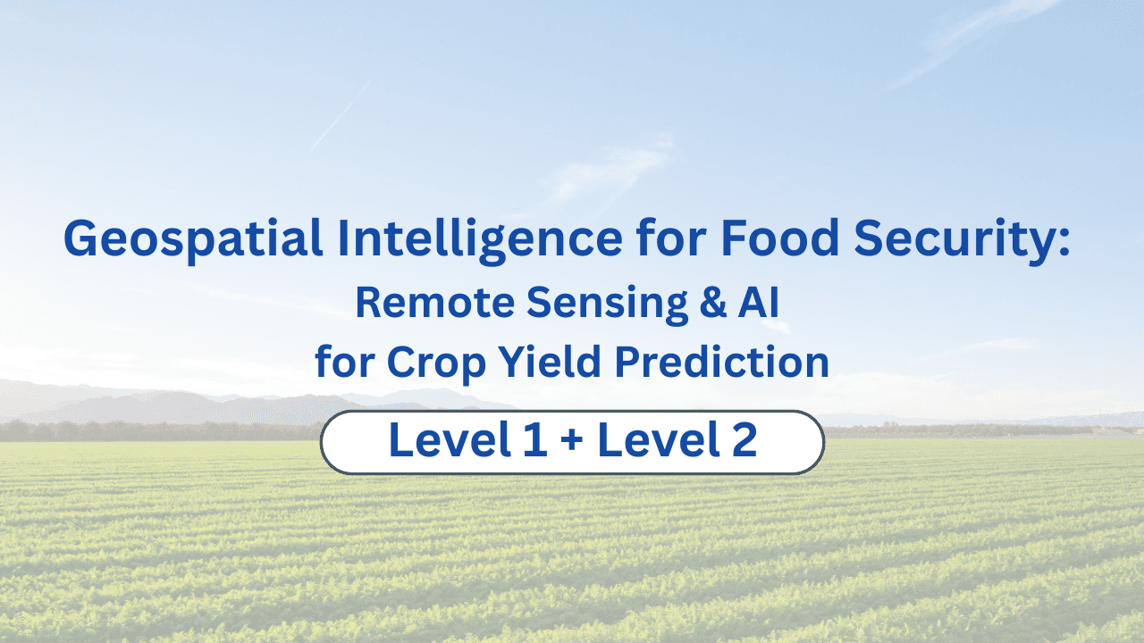
Maximise crop yield with drone imagery, soil analysis, and field-level spatial insights.
Everything you need to know about GIS and Remote Sensing courses in Bangladesh.
IGRS Learning (igrsbd.org) is Bangladesh's leading online GIS and Remote Sensing education platform. We deliver structured, expert-led courses covering QGIS, ArcGIS, Google Earth Engine, satellite imagery analysis, drone mapping, and spatial data science — preparing professionals for careers in geospatial intelligence across Bangladesh and beyond.
Join students transforming their careers with IGRS's expert-led GIS and remote sensing courses.
Industry-focused training in ArcGIS Pro, Google Earth Engine and spatial modelling, Learn in Bangla by working GIS and remote sensing professionals.
15 seats leftChoose from beginner-friendly introductions to advanced professional certifications.
Showing 6 of 7 courses
Tell us where you are, and we'll point you to the right courses.
Never opened a GIS before? Start with the fundamentals — maps, data and your first analysis.
What our students say
“IGRS gave me the practical GIS skills my degree never did. I landed my first remote sensing job within two months.”